For meteorologists, this isn’t just a deviation from the norm—it’s a historic anomaly. For the first time in recorded history, the National Weather Service (NWS) has issued an Excessive Heat Warning for March. In the Bay Area, where rain and mild spring warmth are typically expected at this time of year, temperatures are rapidly approaching 90°F (32°C).
A “Heat Dome” Over the Bay Area
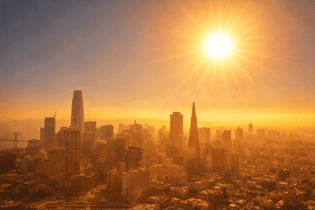
The current heat wave is caused by a powerful high-pressure ridge over the Pacific Ocean, which has formed a so-called “heat dome.” It blocks cool sea breezes and traps the hot air over land.
Forecasts for the coming days look unusually high:
San Jose and the East Bay: Temperatures are expected to reach 90–94°F.
San Francisco: The forecast of 82–85°F is nearly 20 degrees above the seasonal average.
Oakland: Temperatures will reach 85°F.
Authorities warn that the main danger lies in the lack of acclimatization. California residents are used to such heat in July, but in March, the body and home cooling systems are not prepared for it.
Sierra Nevada: An Unexpected End to the Ski Season and the Threat of a “Major Melt”
The anomaly in the Bay Area is only part of the problem. In the Sierra Nevada, the situation is nearing a critical point. The winter of 2025–2026 has already been recognized as one of the warmest on record, and the current “heat dome” has finally dashed the region’s hopes for the traditional March snowfalls (Miracle March).
The snowpack is melting at an unprecedented rate. Back in February, it was at 75% of normal, but over the past two weeks it has dropped to 31–53%. The Lake Tahoe area has recorded a loss of 63 inches of snow in just 13 days.
This has led to the early closure of ski resorts:
Dodge Ridge Mountain Resort officially announced the end of the season this Sunday, March 15.
Sierra-at-Tahoe and Mount Shasta Ski Park have already shut down due to a lack of snow and unsafe trail conditions.
A Chain Reaction: From Floods to Drought
Early snowmelt poses a dual threat. In the short term, it risks flash floods in the American River and Feather River basins. In the long term, it leads to water shortages in the summer and an extremely early wildfire season.
Environmentalists note that while the peak of snowmelt used to occur in April or May, in 2026 it actually happened a month earlier. This alters the state’s entire water cycle, forcing authorities to revise their plans for a dry summer.